The Oklahoma panhandle is a narrow strip of land in the middle of nowhere. We honestly weren't expecting much from our destination, and in actual fact it was a bit of a detour from our planned route going up through Kansas and Nebraska. But sometimes things happen for a reason.
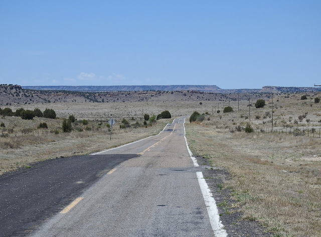
Not much to see along the way. It's pretty flat ranch and farm land.
Welcome to Oklahoma.
This road reminded us of Saskatchewan.
We are still traveling with Bob and Denise, and have been doing so for almost six months now. We get along well, and both seem to like a lot of the same things. But still, we do each have different ways of doing things, so when we approached the town of Boise City, Oklahoma we wanted to stop and do some free internet work, while they continued on to the Nature Preserve. No problem, we would meet up there.
Ruth and I stopped across the street from the Boise City Library. It was then that we realized we had stopped for an overnight here back in October 2015. We had parked in the local hospital parking lot and been able to use the library internet. I remember going in to ask at the hospital if it was okay, and being given permission with no problems at all.
And once again, the free library internet worked great. Thanks Boise City!
We always have our destination arrival time set at 2:00pm, so with that in mind we hit the road again shortly after lunch.
As we got closer to the Black Mesa Nature Preserve, we were pleasantly surprised by the change in scenery.
There's got to be a story behind this place.
Parked up at Black Mesa Nature Preserve.
We got settled at the parking area, and saw that Bob and Denise were apparently off for a walk. We ended up doing the same thing ourselves. We found an area with a short hill to climb for a view, then came down the other side to come across a long abandoned ranch property.
Out for a walk.
We are off looking for dinosaurs!
Didn't see any dinosaurs, but we found some tracks.
These are actual dinosaur footprints.
There had been a sign in the parking area that directed you to this area to find them.
Nice view from up here.
You can see for miles!
An old ranch house.
Hmm, what's in there?
Somebody left their bed behind.
Black Mesa Nature Preserve.
The only problem in this area is that it really is remote so there is no usable cell signal. I had checked the coverage map in advance, so I knew it was going to be spotty. But this is an area we could easily spend 2 or 3 nights, so given that we were willing to bite the bullet.
Interesting exploring!
We had been gone about an hour and a half, but made it back to the campsite just around happy hour.
Storm clouds in the distance, but they weren't coming our way.
Sherman sure is photogenic, isn't he?
Deer at dusk.
Oh deer.
Tuesday's drive, 112 miles (179 kms).
Today (Wednesday) we are doing the popular Black Mesa trail that leads you to the highest point in Oklahoma.
--------------------------------------------------------------------------------------------------------------------------
7" GPS Navigation with USA, Canada, and Mexico Maps. Take 50% off at checkout using coupon code N3X7VLG7
And in Canada...
Check out the deals at Amazon.ca


Sherman looks great! Enjoy!
ReplyDeleteThanks Chris! He has a real glow on because he loves this kind of scenery. ;-)
DeleteI found the story behind those buildings..A guy named "Parker" was not welcome in Kenton OK.
ReplyDeleteSherm needs a couple of chrome rims on his front shoes......
Thanks for that tidbit of information! :-)
DeleteHe definitely needs something. We have tried keeping our eyes out for matching wheel covers but haven't had any luck finding them. Kevin was thinking of taking the wheels off of Sherman this summer and cleaning them all up and then painting them black. We will see!
Another beautiful country to explore! Thanks for continuing to share your adventures.
ReplyDeleteThe scenery in this part of Oklahoma is beautiful and very interesting.
DeleteWe always love to explore, even though our travels are a little more subdued at the moment due to these crazy times.